Tropical Storm on Caribbean – Courtesy: Shutterstock – Image by Drew McArthur
The U.S. National Hurricane Center (NHC) has announced that a disturbance in the Caribbean is expected to become Tropical Storm Fred on Tuesday before it heads towards Florida.
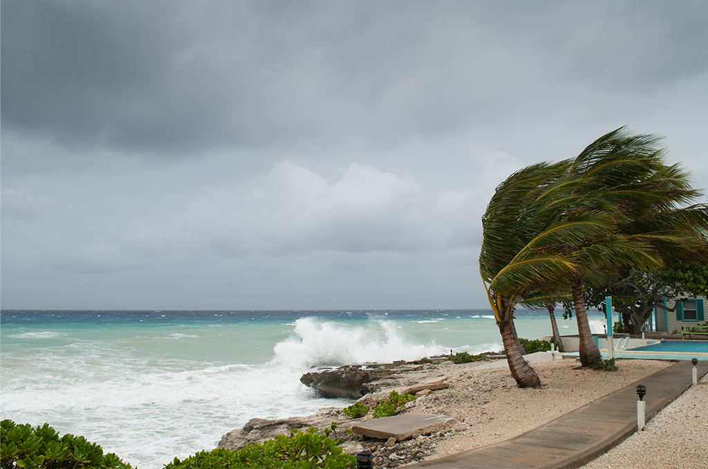
The sixth named storm of the year usually forms at the end of August. In the next few days, heavy rains, strong winds, and high seas are expected to hit Puerto Rico and the Dominican Republic.
Back in July, Tropical Storm Elsa became the earliest fifth named storm recorded.
Since then, the Atlantic has remained very quiet, but now we are entering the busiest months of hurricane season.
The storm, which is currently named Potential Tropical Cyclone Six, moved through the southern Leeward Islands throughout the night and was located about 270 miles east-southeast of Ponce, Puerto Rico as of 8 a.m Tuesday.
The hurricane center said that the chance the system becomes a tropical storm is very high at 90% through the next five days.
The disturbance is expected to pass over the U.S. Virgin Islands and Puerto Rico late Tuesday night and will be near Hispaniola on Wednesday.
It is expected to remain a tropical storm as it moves towards the Bahamas and Florida later this week, although there is great uncertainty around Fred’s path. Most models show the storm turning north sometime on Friday going into Saturday and making its way along the west coast of Florida in the Gulf. Some models show that it can make landfall east of Key West.
On Wednesday, maximum sustained winds were up to 40 miles per hour. The Weather Service said that it could bring isolated patches of rain up to half a foot in parts of the Dominican Republic, causing mudslides and flash flooding.
In Haiti, eastern Bahamas, Turks and Caicos, and eastern Cuba, up to 5 inches of rainfall was possible.
While this season may not be as active as the 2020 season, forecasters are sure that it will be very busy. In the record-breaking 2020 season, the Greek alphabet was used to name storms for a second time.
“A mix of competing oceanic and atmospheric conditions generally favour above-average activity for the remainder of the Atlantic hurricane season, including the potential return of La Niña in the months ahead,” said Matthew Rosencrans, lead seasonal hurricane forecaster at Noaa’s Climate Prediction Center (CPC) in College Park, Maryland.
In a recent update to this season’s forecast, CPC experts increased the number of expected tropical storms, hurricanes, and major hurricanes by a small amount based on the most recent atmospheric and Atlantic ocean conditions.
Are you interested in Florida’s weather? For stories like this and much more: Florida Insider is dedicated to educating, entertaining and informing its readers about everything Florida. Easy to read content at the palm of your hands and covering the stories that matter.
Chris began his writing as a hobby while attending Florida Southern College in Lakeland, Florida. Today he and his wife live in the Orlando area with their three children and dog.