Flooded Neighborhood Streets – Courtesy: Shutterstock – Image by johnmoorefour
As Tropical Storm Fred gains major strength on its way toward the Florida Panhandle, several schools in the area are closed Monday to brace for its impact.
As of early Monday morning, Tropical Storm Fred maintained maximum sustained winds of 50 mph while moving toward the Sunshine State at 6 mph, still about 175 miles south of Panama City. The storm is expected to make landfall in the western Panhandle by Monday afternoon or early evening, according to the National Hurricane Center.
According to the NHC, the storm is expected to bring possible tornadoes, dangerous storm surge, and river flooding when it reaches the U.S. coast, but will weaken after landfall.
Fred is one of the three storms in the Atlantic currently being monitored by the NHC. Tropical Depression Eight formed northeast of Bermuda on Sunday night, while Tropical Depression Grace is headed toward Haiti.
Tropical Depression Eight is moving south at 8 mph with maximum sustained winds at 35 mph is expected to reach tropical storm strength.
A Tropical Storm Warning is in effect for the coast of the Florida Panhandle. It goes from Navarre to the Wakulla-Jefferson County line.
Walton County, Santa Rosa County, Okaloosa County, and Bay County schools all canceled classes and after-school activities on Monday.
According to posts on each school district’s website, classes are expected to resume on Tuesday.
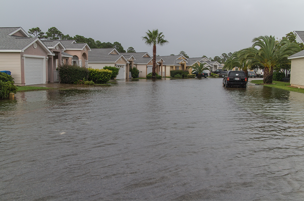
Isolated maximum rainfall totals of 12 inches are expected in the Florida Big Bend and Panhandle through Tuesday, according to the NHC. Southeast Alabama, the western Carolinas, and portions of Georgia can expect heavy rainfall.
Storm surge is forecast to be highest in certain parts of Florida. A surge of 3 to 5 feet is possible from Indian Pass to the Steinhatchee River. From the Alabama-Florida border to Indian Pass, including Saint Andrew Bay, Pensacola Bay, and Choctawhatchee Bay, a 1 to 3 feet storm surge is forecast.
Meanwhile, Tropical Depression Grace is making its way through the Caribbean toward Haiti, which can greatly affect recovery efforts after a major 7.2-magnitude earthquake struck on Saturday.
Grace lost a bit of force and weakened from a storm to a tropical depression Sunday, with maximum sustained winds of 35 mph.
According to the NHC, “a tropical storm watch is in effect for the entire coast of Haiti and the entire coast of the Dominican Republic in advance of Grace, which was located 90 miles south-southeast of Santo Domingo, Dominican Republic, early Monday morning.”
The current forecast has Tropical Depression Grace hurdling over Hispaniola on Monday and near eastern Cuba on Tuesday.
Grace’s intensity and track after passing Hispaniola remain uncertain at this time.
Are you interested in Florida’s weather? For stories like this and much more: Florida Insider is dedicated to educating, entertaining and informing its readers about everything Florida. Easy to read content at the palm of your hands and covering the stories that matter.
Chris began his writing as a hobby while attending Florida Southern College in Lakeland, Florida. Today he and his wife live in the Orlando area with their three children and dog.