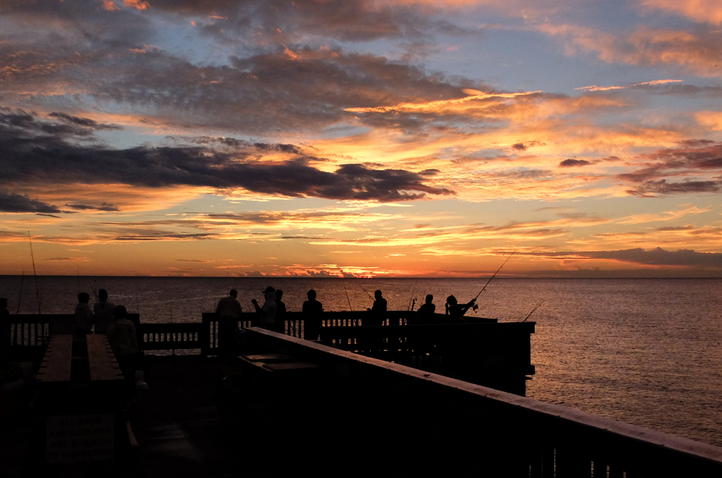
Saharan Dust Sunrise over Atlantic Ocean – Courtesy: Shutterstock – Image by Rolando Otero
Picturesque sunrises and smelly sargassum will soon be on the horizon for Florida residents as a wave of Saharan Dust is expected to arrive Wednesday of this week.
The phenomenon of Saharan dust storms is a rather common occurrence during the summer months for the Sunshine State, and experts are saying this year’s first storm will bring a crucial layer of protection against potential hurricane and tropical storm conditions.
It is estimated by NASA that “Upwards of 60 million tons of its nutrient-laden mineral dust are lifted into the atmosphere each year, creating a massive layer of hot, dusty air that winds carry across the Atlantic to deliver those nutrients to the ocean and vegetation in South America and the Caribbean.”
On the surface, these dust storms from the African continent’s largest desert blanket hundreds-to-thousands of miles of skies across the Atlantic and provide essential nutrients to the western hemisphere’s land and ecosystems. Additionally, they provide viewers under the dust blanket with orange hazy sunrises and sunsets that are perfect for a photo-op.
But, just as the dust storms provide nutrients for the environment, shield our coasts from tropical activity, and set up beautiful horizon views, they also fuel red tide, the catalyst for dangerous algae blooms and smelly shorelines.
Earlier this month, NASA’s Earth Observatory reported in a release that strong winds blew across Mali and Mauritania on the western edge of the continent and picked up large portions of dust before moving across Senegal and bordering nations before being carried out across the Atlantic.
Just as wind from the Atlantic pushes tropical storms to the western hemisphere, the same is done for the dust storms. However, these dust storms provide crucial protection in the suppression of surrounding tropical activity.
Last summer, similar winds carried the largest Saharan dust storm recorded in two decades across the Atlantic, dubbed Godzilla, dimming Florida and other southeastern state skies for weeks.
“The African easterly jet [stream] exports the dust from Africa towards the Atlantic region,” Bing Pu, lead author of a NASA study, said in a release. “Then the North Atlantic subtropical high, which is a high-pressure system sitting over the subtropical North Atlantic, can further transport it towards the Caribbean region. The Caribbean low-level jet, along with the subtropical high, can further transport the dust from the Caribbean region towards the States.”
Experts believe the dust storm will arrive in the Sunshine State by Wednesday, slowly bringing drier conditions and drawing out rain showers moving into the weekend.
For those who are prone to sneezing and allergies, the dust storm will likely flare up congestion and respiratory problems that mirror COVID-19 like symptoms; therefore, it is important to monitor sudden temperature spikes during the dust period.
And for those eager to see the most pronounced orange, red, and pink hues in the sky, be sure to wake up early to catch the sunrise.
Are you interested in Florida’s weather? For stories like this and much more: Florida Insider is dedicated to educating, entertaining, and informing its readers about everything Florida. Easy to read content at the palm of your hands and covering the stories that matter.

William is a South Florida native with professional experience writing at the collegiate and national news outlet level. He loves fishing, playing soccer and watching sports in his spare time and is a fan of all South Florida teams.

