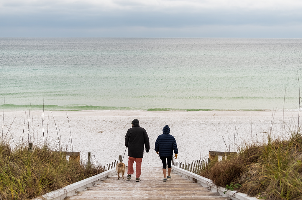
Seaside cold weather in Florida — Courtesy: Shutterstock — Kristi Blokhin
A few light raindrops had fallen on Christmas Eve, but this isolated pattern of rain quickly ended.
On Sunday, it was predicted that an area of low pressure would travel eastward from the Texas and Louisiana region toward the Sunshine State. The moisture that was pushing ahead of the next warm front-related weather system made Christmas Day cloudier and rainier.
Around eight in the morning or later Monday, rain started to fall across western Marion and Sumter counties and then moved out from there.
A few coastal showers started at the same time as the rain moved eastward by midmorning and reached Interstate 4.
Shower coverage and intensity increased as the morning wore on.
There were periods of moderate to intense rainfall. Although they shouldn’t be disregarded, isolated thunderstorms that were capable of producing lightning and powerful gusts of wind were still classified as severe thunderstorms. By the afternoon, there was a 60–70 percent probability of rain.
The southeast wind gusted at a pace of around 20 mph throughout the day, with high temperatures remaining in the low to mid-70s.
Although there wouldn’t be as much coverage by Tuesday night, there were still a few lingering, dispersed showers with comparatively little rainfall.
By late Monday evening, the cold front was drawing nearer to the state while the warm front lifted to the northeast.
Tuesday it was still expected to bring a few thunderstorms and sporadic showers. The cold front was expected to go into Central Florida by Tuesday night into Wednesday morning. From there, it will southward and will arrive in South Florida by Thursday.
The front will be followed by somewhat drier air, which will reduce the likelihood of rain on Wednesday and Thursday.
Although the final week of 2023 begins mildly, expect cooler air to come by the end of the week.
Prepare to bundle up!
Thursday’s highs are predicted to remain in the 60s, making it a cool day. Despite lots of sunshine and low cloud cover, a re-entering cold front will bring additional colder air, ensuring Friday highs in the 50s. Lows in the low 40s are predicted for the Orlando area on Friday night. In the mid-to-upper-30s, areas northwest of the city will get considerably colder.
As the final weekend of 2023 approaches, highs will continue to hover around 50 and 60-degree weather, with nightly lows falling into the 30s and 40s.
Stories that matter are our priority. At Florida Insider, we make sure that the information we provide our readers is accurate, easy-to-read, and informative. Whether you are interested in business, education, government, history, sports, real estate, nature or travel: we have something for everyone. Follow along for the best stories in the Sunshine State.
Mike has more than 30 years of experience in marketing and public relations. He once owned his own agency and has worked with some of the largest brands in the world.

