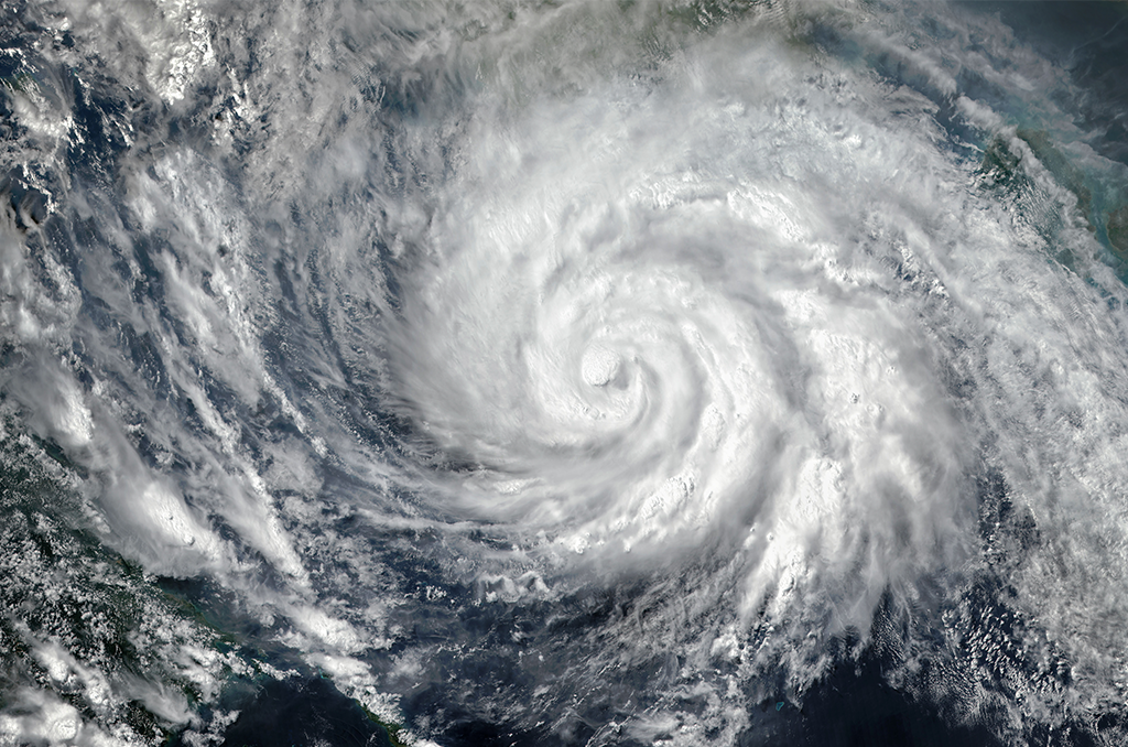
Tropical Storm Sara (Storm system pictured is not Sara) – Courtesy: Shutterstock – Image by Triff
AccuWeather meteorologists predict that a group of showers and thunderstorms over the central Caribbean will develop into a tropical rainstorm and, later this week, a tropical storm as it moves westward. In at least one possibility, a hurricane is expected to make landfall in Florida the following week.
“Wind shear remains low over much of the Caribbean, and waters are plenty warm (in the 80s F),” Bernie Rayno, AccuWeather Chief On-Air Met “And now, with showers and thunderstorms beginning to gather, it will likely not be much longer until a tropical rainstorm forms and continues to organize into a tropical storm.”
Stiff breezes are an example of wind shear, which can weaken tropical storms or hurricanes or stop them from forming altogether.
The feature in the Caribbean is expected to be given the next name on the list, Sara, since there is no competition for a tropical storm throughout the Atlantic basin.
If it stays out of Central America, it has a good chance of developing into a hurricane due to the warm water and little wind shear in the area.
According to AccuWeather Lead Hurricane Expert Alex DaSilva, “should the feature turn into a hurricane, it would be the 12th of the season, which is a testament to the supercharged nature of the season, where the historical average is seven hurricanes.”
“There are multiple scenarios with the feature in the Caribbean that are tied to the speed of development and track early on that could affect land areas with landfall and direct impacts later on,” DaSilva stated. “Not only does this have a significant chance of becoming a hurricane, but it may become a major hurricane very quickly.”
The location of a dome of high pressure along the southern Atlantic coast of the United States is expected to have a significant impact on the trajectory of any tropical storm or hurricane that emerges in the western Caribbean.
Later this weekend or early next week, if the high holds firm, it will probably direct the tropical problems into southeastern Mexico or Central America. From there, it might start to head into the Gulf of Mexico or it might fade over the area. In a weaker state, though, it might not have time to strengthen into a hurricane before making landfall on the Florida Peninsula.
The future tropical rainfall might proceed from the western Caribbean, via the strait between Cuba and Mexico, and then into the southern Gulf if the high pressure quickly passes. With steering breezes that could lead the system toward the Florida Keys and the southern portion of the Florida Peninsula, this track indicates a more powerful system that could have a major hurricane impact on Florida.
It is highly advised to keep an eye on the development of the changing tropical threat in Central America, spanning from Nicaragua to Belize, as well as in southeast Mexico, Cuba, the Cayman Islands, Florida, and the Bahamas.
Significant rainfall that could result in flash floods, severe wind gusts that could cause property damage and power outages, and a storm surge that could endanger life and property are all possible outcomes of a powerful hurricane making landfall.
Stories that matter are our priority. At Florida Insider, we make sure that the information we provide our readers is accurate, easy-to-read, and informative. Whether you are interested in business, education, government, history, sports, real estate, nature or travel: we have something for everyone. Follow along for the best stories in the Sunshine State.

