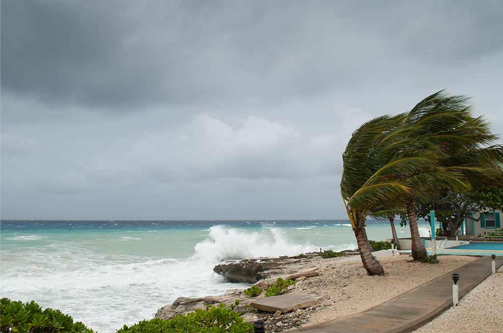
Storm on Caribbean (Florida not pictured) – Courtesy: Shutterstock – Image by Drew McArthur
Sara is no longer a tropical cyclone, according to the National Hurricane Center, but its aftereffects are expected to bring heavy rainfall to Florida by the middle of the week.
Early on Monday, the NHC removed advisories from the system, stating that “Sara no longer has a well organized circulation.”
After dumping a lot of rain on regions of Mexico and Central America, Sara was downgraded from a tropical storm to a tropical depression.
What is the rainy season?
Dave Osterberg, a meteorologist for FOX 13, predicts that on Wednesday, the tropical moisture will move north into the Gulf of Mexico before merging with a cold front and heading east across Florida.
“At this point, there could be a couple of stronger storms, mainly to the north of us,” Osterberg stated. “But we are going to get a line of rain Wednesday.”
On Tuesday and Wednesday, the northern Gulf coast—from Louisiana to the Florida panhandle—will see the most rainfall. Up to five inches of rain might fall in some places.
According to Osterberg, the Tampa Bay region will see rain beginning Wednesday morning and lasting for a few hours until cooler, drier air arrives later in the day.
High temperatures will then reach the low 70s by Thursday and remain there for the duration of the weekend.
Stories that matter are our priority. At Florida Insider, we make sure that the information we provide our readers is accurate, easy-to-read, and informative. Whether you are interested in business, education, government, history, sports, real estate, nature or travel: we have something for everyone. Follow along for the best stories in the Sunshine State.
Chris began his writing as a hobby while attending Florida Southern College in Lakeland, Florida. Today he and his wife live in the Orlando area with their three children and dog.

