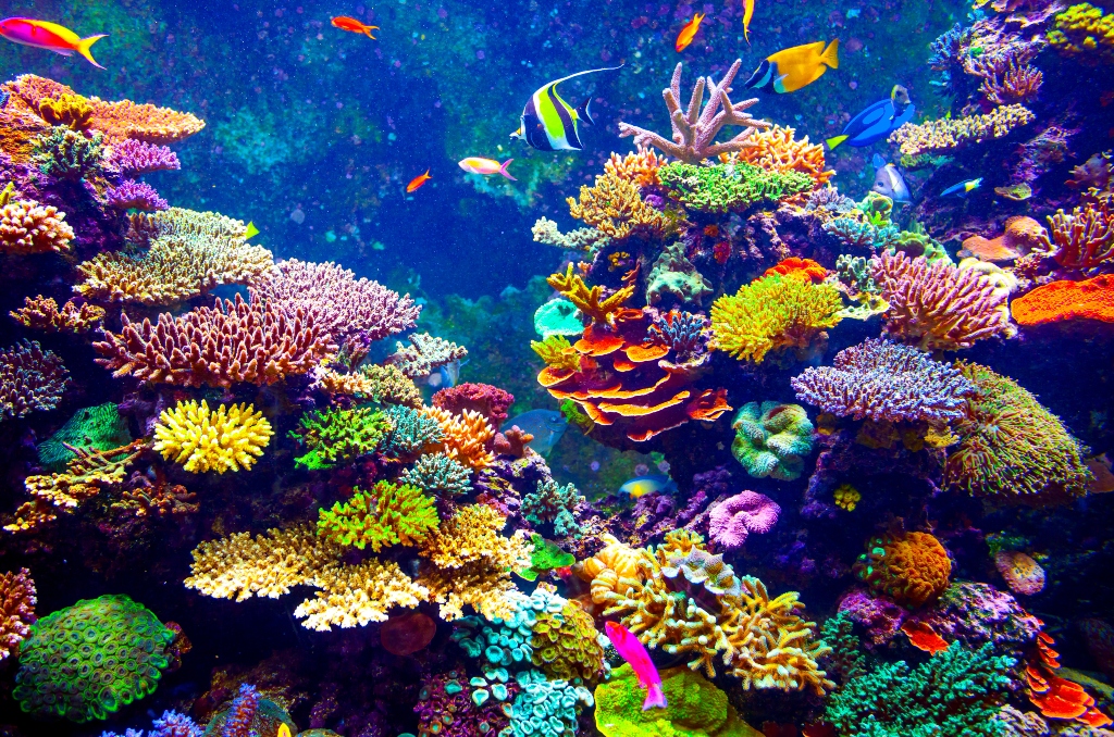
Coral reef – Courtesy: Shutterstock – Image by Goinyk Production
The largest coral reef in the world is located hundreds of miles off the Atlantic coast of the United States, and scientists have mapped it.
Although some coral has been known to exist off the Atlantic coast since the 1960s, its exact quantity was unknown until new underwater mapping equipment allowed scientists to create three-dimensional photographs of the ocean floor.
The largest known deep coral reef “has been right under our noses, waiting to be discovered,” according to Ocean Exploration Trust nonprofit oceanographer Derek Sowers.
Recently, maps of the reef were published in the journal Geomatics by Sowers and other scientists, including many from the National Oceanic and Atmospheric Administration.
The reef stretches from Florida to South Carolina over a distance of approximately 310 miles (499 kilometers), with a width of up to 68 miles (109 kilometers) at certain places. The entire area is almost three times larger than the national park of Yellowstone.
Stuart Sandin, a marine biologist at the Scripps Institution of Oceanography who was not involved in the study, described the findings as “eye-opening—it’s breathtaking in scale.”
The reef was discovered at depths where sunlight cannot reach, between 655 and 3,280 feet (200 and 1,000 meters). Deep down, the coral must filter food particles out of the water to get energy, unlike tropical coral reefs where photosynthesis is crucial for growth.
According to the experts, deep coral reefs provide a home for a variety of fish species, including swordfish, octopus, shrimp, sharks, and sea stars.
Because they are more accessible, tropical reefs are more known to scientists as well as snorkelers. The Great Barrier Reef in Australia is the biggest tropical coral reef system in the world, spanning around 1,430 miles (2,301 kilometers).
Given that just around 25 percent of the ocean bottom has been high-resolution mapped, Sowers said that greater deep-sea reefs may be found in the future. Mapping of U.S. offshore seas is just 50 percent complete. Shipboard sonar equipment with high resolution is used to map the ocean floor.
More of the ocean floor is covered by deep reefs than by tropical reefs. Erik Cordes, a marine scientist at Temple University and co-author of the current study, said that both types of habitat are vulnerable to comparable threats, including as disruption from oil and gas drilling and climate change.
Stories that matter are our priority. At Florida Insider, we make sure that the information we provide our readers is accurate, easy-to-read, and informative. Whether you are interested in business, education, government, history, sports, real estate, nature or travel: we have something for everyone. Follow along for the best stories in the Sunshine State.
Melissa’s career in writing started more than 20 years ago. Today, she lives in South Florida with her husband and two boys.

