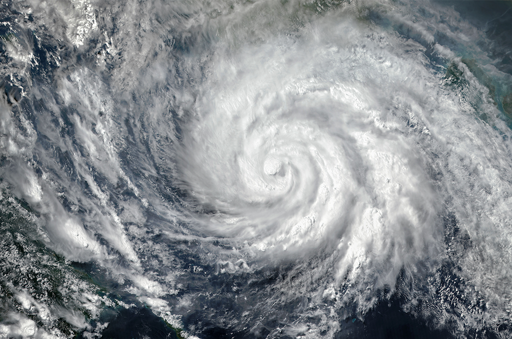
Tropical Storm – Courtesy: Shutterstock – Image by Triff
TAMPA, FL. – Beginning Monday, a sizable region of disrupted weather off the Southeast coast will travel west over Florida, bringing with it periods of intense precipitation and the potential for flash floods. As it moves toward the Gulf this week, this storm, which is loaded with tropical moisture, could develop into a tropical depression.
On Monday, the National Hurricane Center named the storm-monitoring area as Invest 93L. The NHC uses the term “invest” to designate a location that is being closely examined for the potential for tropical development.
The tropical moisture will intensify storms, which could result in 1 to 3 inches of rain per hour, according to the FOX Forecast Center.
Furthermore, NOAA’s Weather Prediction Center has issued a Level 2 out of 4 flash flood warning for the majority of central and south Florida due to the slow-moving nature of these storms over Florida on Monday.
Ahead of further rain this week, thunderstorms battered the Palm Coast and other areas of Florida’s East Coast on Sunday.
Through Thursday, it is predicted that Florida’s Gulf Coast and even many interior locations will receive at least two to three inches of rain. Localized rainfall accumulations of three to five inches may occur in some places.
Additionally, a Level 1 out of 5 danger for severe thunderstorms has been issued for the whole state on Monday by NOAA’s Storm Prediction Center. The risk emphasizes how severe wind gusts linked to these storms can be.
Throughout the week, there will also likely be a lot of rain along the Gulf Coast, from Alabama to Louisiana, including New Orleans.
As the week goes on, Florida’s risk of flash floods will decrease.
Through Tuesday, Orlando, Tampa Bay, Fort Myers, and Miami are all under a Level 2 out of 4 threat.
This week’s possible tropical development in the Gulf
On Tuesday, a number of NOAA Hurricane Hunter aircraft are scheduled to depart, arriving at Invest 93L to collect information regarding the disruption.
Conditions in the Gulf, especially warm water temperatures, may favor the creation of at least a tropical depression this week, while the Atlantic basin is unsuitable for tropical development.
Though some individual models suggest that development may occur in the Gulf, forecast models do not currently indicate the establishment of a robust tropical system.
Important variables including the intensity of the hostile winds and how long the system persists over warm ocean rather of forming near land, where it would be weaker, will determine if that occurs.
According to FOX Weather Meteorologist Marissa Torres, “the opportunity to develop into something more organized beyond a depression is going to be a little more challenging.”
Over the next two days, Invest 93L has a low chance of becoming a tropical depression, and over the next week, its chances of becoming one are slightly higher, according to the National Hurricane Center.
The system will eventually make its way toward the northern Gulf Coast sometime Wednesday, most likely close to Louisiana or Mississippi.
Coastal Mississippi, Alabama, Louisiana, and possibly some interior areas of those states could still see a lot of rain from this system regardless of its development.
According to Bryan Norcross, a hurricane specialist with FOX Weather, “there is not a good consensus on how quickly the system will move past the Alabama, Mississippi, and Louisiana coastal sections this weekend.”
Stories that matter are our priority. At Florida Insider, we make sure that the information we provide our readers is accurate, easy-to-read, and informative. Whether you are interested in business, education, government, history, sports, real estate, nature or travel: we have something for everyone. Follow along for the best stories in the Sunshine State.
Melissa’s career in writing started more than 20 years ago. Today, she lives in South Florida with her husband and two boys.